Freshly Printed - allow 8 days lead
Couldn't load pickup availability
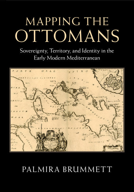
Mapping the Ottomans
Sovereignty, Territory, and Identity in the Early Modern Mediterranean
This book examines how Ottomans were mapped in the narrative and visual imagination of early modern Europe's Christian kingdoms.
Palmira Brummett (Author)
9781107090774, Cambridge University Press
Hardback, published 19 May 2015
398 pages, 95 b/w illus. 17 colour illus. 1 map
26.1 x 18.3 x 2.7 cm, 0.88 kg
'In this comprehensive study of written and pictorial descriptions of the Ottoman state and its borderlands, Palmira Brummett gathers several of the most important strands of recent scholarship on the early modern world. This authoritative book is characterized by increasing recognition of the enmeshment of material and intellectual cultures in Christian and Muslim lands, reconfiguration of knowledge of the 'east' that eschews the stultifying rubric of orientalism, and reliance on maps as historical archives and powerful metaphors for picturing spaces and their inhabitants.' Sean Roberts, American Historical Review
Simple paradigms of Muslim-Christian confrontation and the rise of Europe in the seventeenth century do not suffice to explain the ways in which European mapping envisioned the 'Turks' in image and narrative. Rather, maps, travel accounts, compendia of knowledge, and other texts created a picture of the Ottoman Empire through a complex layering of history, ethnography, and eyewitness testimony, which juxtaposed current events to classical and biblical history; counted space in terms of peoples, routes, and fortresses; and used the land and seascapes of the map to assert ownership, declare victory, and embody imperial power's reach. Enriched throughout by examples of Ottoman self-mapping, this book examines how Ottomans and their empire were mapped in the narrative and visual imagination of early modern Europe's Christian kingdoms. The maps serve as centerpieces for discussions of early modern space, time, borders, stages of travel, information flows, invocations of authority, and cross-cultural relations.
1. Introduction: mapping empire and 'Turks' on the map
2. Reading and placing the 'Turk'
3. Borders: the edge of Europe, the ends of empire, and the redemption of Christendom
4. Sovereign space: the fortress as marker of possession
5. Heads and skins: mapping the fallen Turk
6. From Venice and Vienna to Istanbul: the travel space between Christendom and Islam
7. Authority, travel, and the map
8. Afterword: mapping the fault lines of empire and nation.
Subject Areas: Historical geography [HBTP], Middle Eastern history [HBJF1], European history [HBJD]


