
Freshly Printed - allow 7 days lead
Couldn't load pickup availability
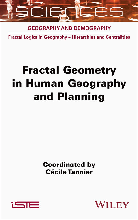
Fractal Geometry in Human Geography and Planning
Cécile Tannier (Edited by)
9781789451597, Wiley
Hardback, published 25 July 2024
368 pages
23.5 x 15.6 x 2.3 cm, 0.78 kg
The aim of this book is to provide an overview of the concepts and methods used in fractal analysis and modeling in order to study the spatial distribution of human settlements. The main concepts and mathematical tools are reviewed, and emphasis is placed on the practical benefits of their application and the pitfalls to be avoided when using them. The first part of the book is devoted to the basic concepts and geometric reference figures required for fractal analysis in human geography. In the second part, the principles of four major families of analysis methods are explained in detail: fractal analyses of point sequences, fractal methods for morphological delineation of urban agglomerations, multifractal analyses and cross scale signatures. The third part of the book is devoted to applications of fractal geometry in urban and regional planning.
Introduction xi Part 1. Basic Concepts and Reference Figures 1 Chapter 1. Introduction to Fractal Analysis and Modeling in Human Geography 3 1.1. Geometric models of the spatial distribution of human settlements: from the use of smooth and regular shapes to the adoption of fractal shapes Chapter 2. Basic Concepts for Fractal Analysis and Modeling in Human Geography 23 2.1. Methods of construction of fractal figures 2.2. Measuring the size of fractal and non-fractal objects 36 2.3. Definition of a fractal object 39 2.4. Density and fractal dimension 40 2.5. Mathematical fractals versus fractals in the real world 44 2.6. Fractality and scale invariance 48 2.7. References 51 Chapter 3. Fractal Reference Figures 55 3.1. Fractal curves and islands 56 3.2. Fractal dusts, gaskets and carpets 58 3.3. Hybrid fractal figures and multifractal figures 66 3.4. Fractal geometric models of central places 77 3.5. Concerning lacunarity 81 3.6. Conclusion 85 3.7. References 86 Part 2. Fractal and Multifractal Analyses of the Spatial Distribution of Human Settlements 91 Chapter 4. Fractal Analysis Methods for Characterizing the Spatial Distribution of Human Settlements 93 4.1. Estimating the fractal dimension of a collection of human settlements (point, linear or surface objects) 94 4.2. Fractal box-counting and correlation analyses of 50 built-up fabrics 113 4.3. Conclusion 141 4.4. References 142 Chapter 5. Morphological Delineation of Urban Agglomerations: Comparison of Fractal and Non-Fractal Methods 147 5.1. Comparison of three fractal and non-fractal methods of morphological delimitation of cities 148 5.2. Morphological characterization of cities delimited by means of MorphoLim within 82 French urban areas 167 5.3. Conclusion 189 5.4. References 189 Chapter 6. Multifractal Analyses of Population Distributions 197 6.1. Introduction 197 6.2. Theoretical presentation of multifractal analysis 199 6.3. Application to the study of the spatial distribution of the population 208 6.4. Conclusion and perspectives 216 6.5. References 217 Chapter 7. Characterizing Deviations from Scale Invariance Using Cross-Scale Signatures 221 7.1. Cross-scale signatures: a tool for exploring deviations from scale invariance 223 7.2. Synthesizing the information provided by cross-scale signatures 228 7.3. Conclusion 238 7.4. References 238 Part 3. Urban Forms and Fractal Planning 241 Chapter 8. Principles of Fractal Planning and Urban Design 243 8.1. Hypotheses about the functional advantages of fractal built and non-built forms 244 8.2. Fractal planning standards: between myths and realities 254 8.3. Why and how to introduce fractal geometric rules into geographic models of urban and regional planning? 258 8.4. Conclusion 267 8.5. References 269 Chapter 9. Multifractal Forward Planning: The Fractalopolis Model Applied to the Case of Greater Paris 277 9.1. Planning for accessibility: reducing distances traveled and organizing urban centers 279 9.2. Integrating green and blue infrastructure into a planning process 283 9.3. Fractalopolis: a multi-scale development model 291 9.4. Example of application: from Greater Paris to the Est Ensemble sector 311 9.5. Conclusion 326 9.6. References 328 Conclusion 335 List of Authors 339 Index 341
Cécile TANNIER
Cécile TANNIER and François SÉMÉCURBE
Cécile TANNIER
Cécile TANNIER
Cécile TANNIER, Gaëtan MONTERO, François SÉMÉCURBE and Isabelle THOMAS
Gaëtan MONTERO, Cécile TANNIER and Isabelle THOMAS
François SÉMÉCURBE and Cécile TANNIER
François SÉMÉCURBE and Cécile TANNIER
Cécile TANNIER
Pierre FRANKHAUSER and Olivier BONIN
Isabelle THOMAS
Subject Areas: Geography [RG]