
Freshly Printed - allow 10 days lead
Couldn't load pickup availability
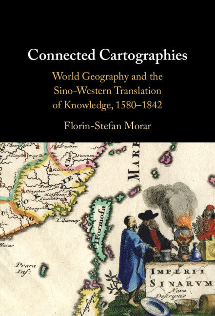
Connected Cartographies
World Geography and the Sino-Western Translation of Knowledge, 1580-1842
The fascinating story of encounters between Chinese and Western traditions of world geography and cartography.
Florin-Stefan Morar (Author)
9781009636032, Cambridge University Press
Hardback, published 22 January 2026
278 pages
22.9 x 15.2 x 1.8 cm, 0.564 kg
'Connected Cartographies' offers a compelling narrative of the interactive co-emergence of early modernity in China and Europe in the fields of world geography and cartography. Qiong Zhang, Wake Forest University
In the 'Age of Discovery', explorers brought a wealth of information about new and strange lands from across the oceans. Yet, even as the Americas appeared on new world maps, China remained a cartographic mystery. How was the puzzle of China's geography unravelled? Connected Cartographies demonstrates that knowledge about China was generated differently, not through exploration but through a fascinating bi-directional cross-cultural exchange of knowledge. Florin-Stefan Morar shows that interactions between Chinese and Western cartographic traditions led to the creation of a new genre of maps that incorporated features from both. This genre included works by renowned cartographers such as Abraham Ortelius and Matteo Ricci and other less-known works, 'black tulips of cartography,' hidden in special collections. Morar builds upon original sources in multiple languages from archives across three continents, producing a pioneering reconstruction of Sino-Western cartographic exchanges that shaped the modern world map and our shared global perspective.
Introduction
1. The lay of the land: Chinese and European world maps before the encounter
2. Translation and treason: the demarcation controversy and the first translations of maps of China in Europe
3. The Westerner: Matteo Ricci's world map and the quandaries about European identity in late Ming China
4. Material matters: the 1603 world map by Matteo Ricci and Li Yingshi and the Manchu appropriation of Chinese and Western cartographies
5. At the limits of China: translating borders between China and the West
6. China's place in the world: Sino–Western maps and the transformation of Chinese cartography
Epilogue the archipelago
List of maps and figures
Abbreviations
Bibliography
Index.
Subject Areas: Asian history [HBJF]